( This page is still under construction...pun intended)
An ortho (orthomosaic or othoimage) is a type of aerial imagery that is created by stitching together hundreds or even thousands of individual aerial photographs. By using specialized software, I can create a seamless, high-resolution, georeferenced image of the ground below. Unlike traditional aerial photographs, orthomosaics have been corrected for distortions caused by camera angle, altitude, and topography, which makes them accurate enough to be used in site planning and surveying applications.
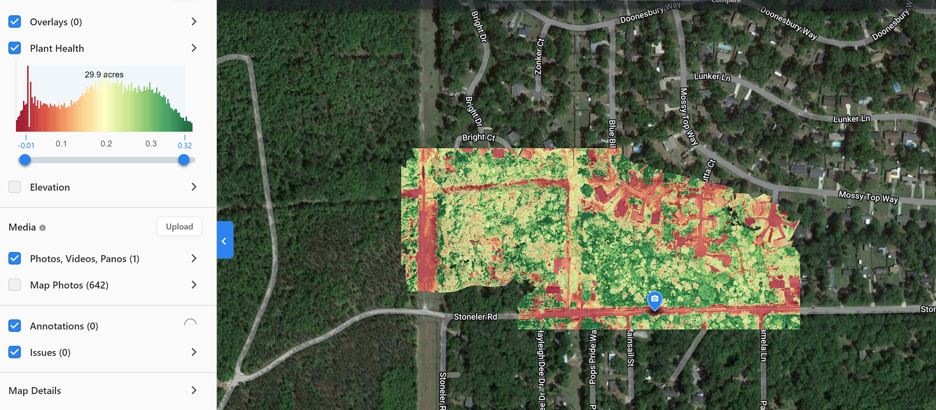
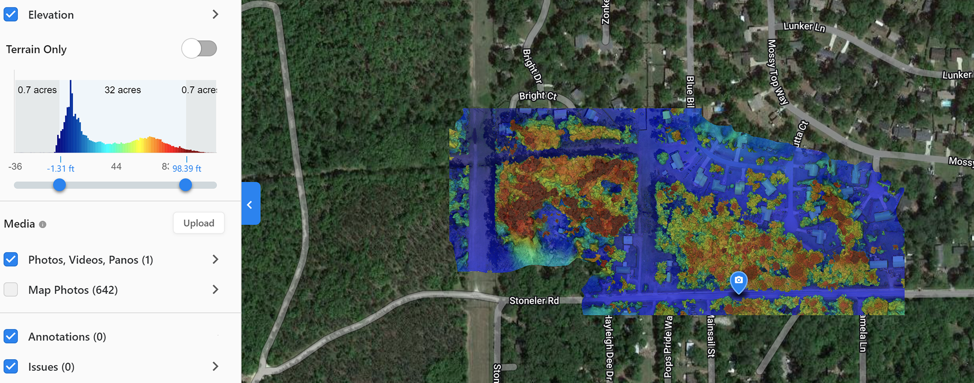
Orthomosaics are useful in site planning for several reasons. First, they provide an accurate and detailed view of the site, including its topography, elevation, and vegetation. This information can be used to identify potential hazards, such as steep slopes or areas prone to flooding, and to plan the placement of infrastructure, such as roads, buildings, and utilities.
Second, orthomosaics can be used to measure distances and areas with a high degree of accuracy. This is because they are georeferenced, meaning that each pixel in the image is associated with a specific location on the ground. As a result, it is possible to measure distances and areas directly from the image. High accuracy survey grade equipment like GPS systems will increase the accuracy and reliability of these measurements. Construction companies can use these to calculate the volume of stockpiles, estimate material costs, and collect other valuable data without actually having to be at the construction site
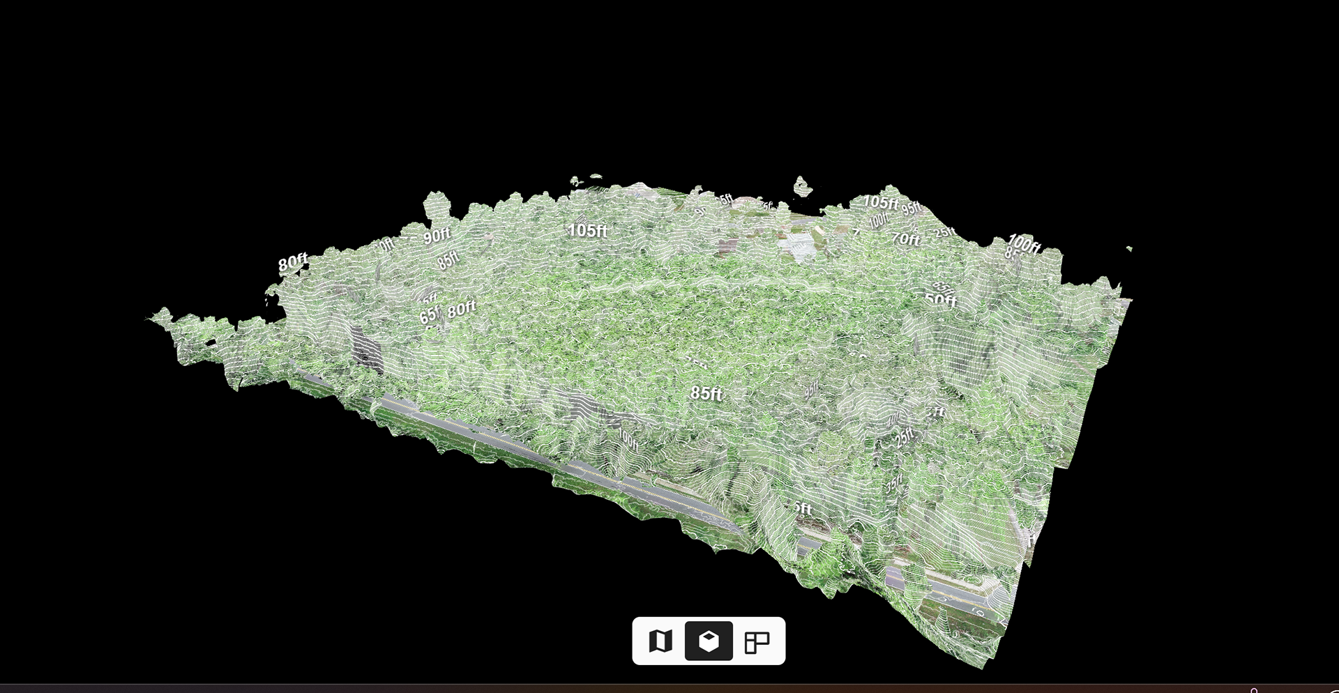
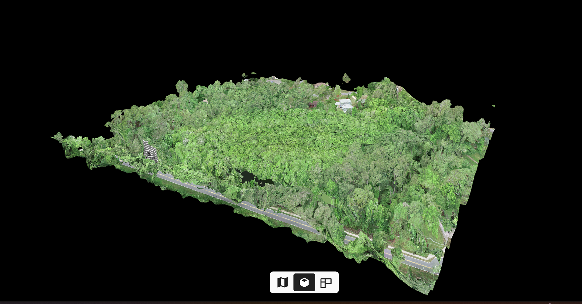
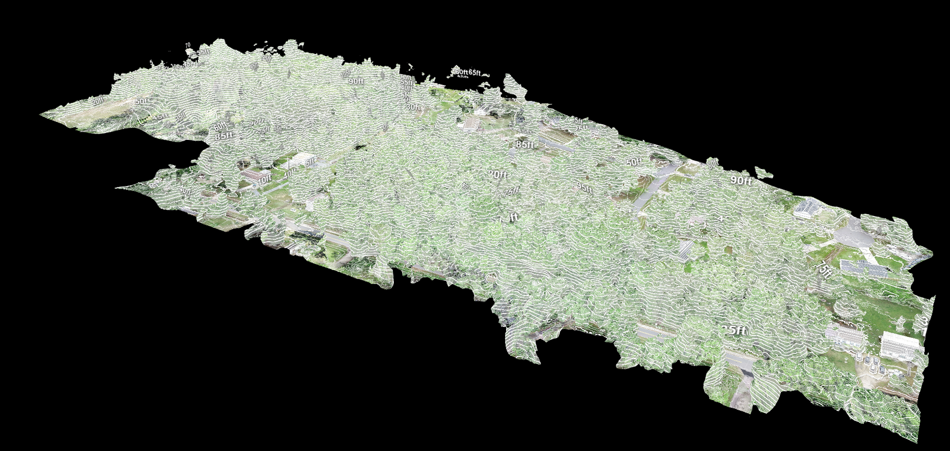
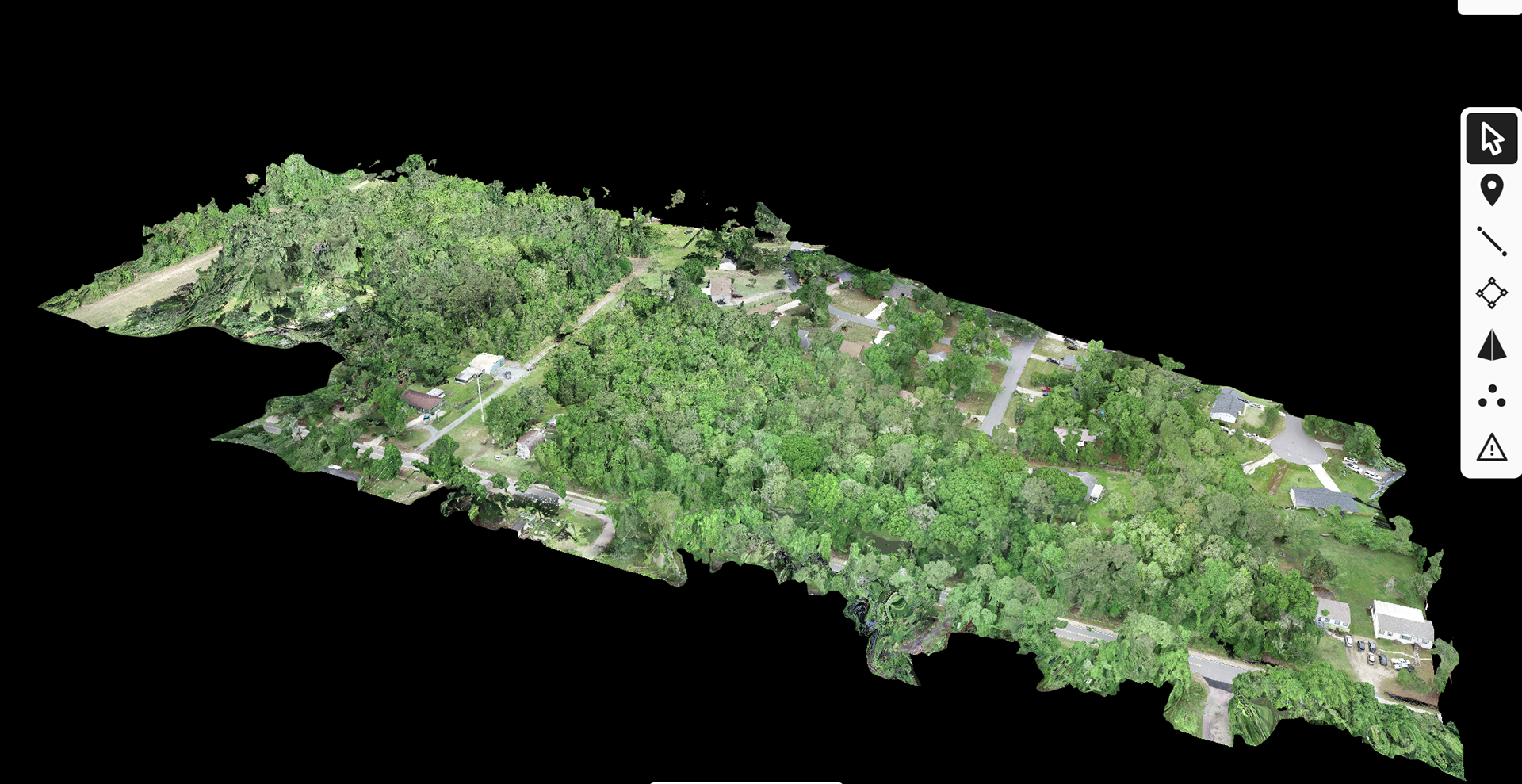
Third, orthomosaics can be used to create 3D models of the site. By combining the imagery with elevation data, it is possible to create a detailed, three-dimensional representation of the site that can be used to visualize the site and plan the placement of infrastructure. See images below.
Finally, because google maps are on average 1-3 years old, Orthomosaics and 3D maps provide the most up to date representation of an area. For all the uses mentioned above, you want the most up to date data in order to plan your project accordingly. There are many occasions where we have produced an orthomosaic and referenced it back to google maps and there have been minor differences to major land clearing changes. Legal proceedings may need the most up to date image of a site in question, they may not want to rely on google maps for something as critical as a legal case.
